
The Art of Being A Kitchen Sponge: Visiting the Remote Sensing Team at DHI
May 3, 2022
I came across this quote by Vincent Vanhoucke recently and it sums up my current headspace after spending the last week at DHI.
“Measuring progress in units of learning, as opposed to units of solving, is one of the key paradigm shifts one has to undergo to be effective in a research setting.”Vincent Vanhoucke, Scientist and Senior Director of Robotics at Google
In his Medium article, Vincent wrote about what is takes to be a research scientist. In my experience as a PhD student you can often feel like you are failing by getting farther away from the answer while the clock is ticking on your degree. His words shifted my perspective – the reality is you can’t treat research as an exam problem. Most research doesn’t get you close to the answer but rather helps you understand the question better. In this light, if I measure progress in “units of learning” I would say my visit to DHI last week was very successful. My only goal visiting DHI was to be a classic kitchen sponge and absorb information. In my post below, I’ll explain how I ended up visiting DHI as part of my fellowship and some of the information I learned on my visit.
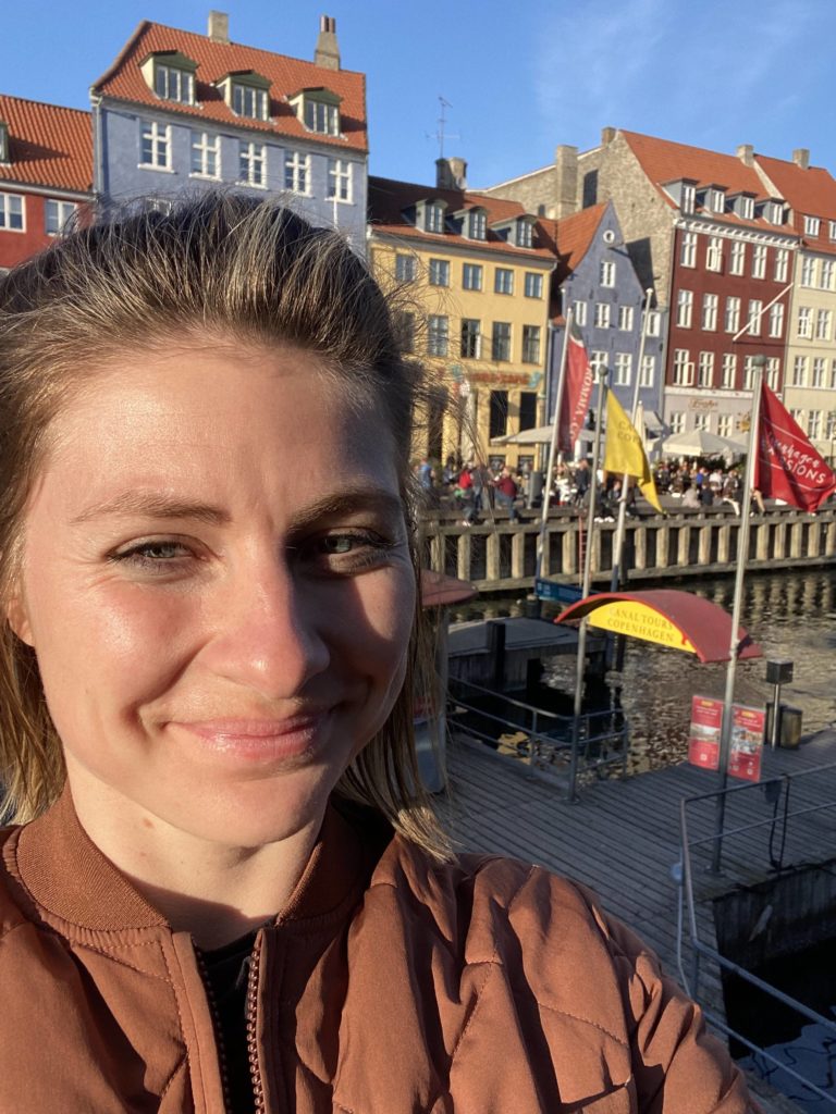
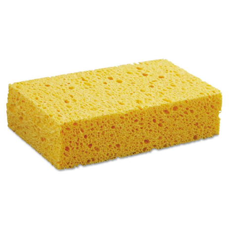
Me visiting the harbour in Copenhagen and a classic kitchen sponge.
So, what have I been up to at DHI and how did I get here?
Last week I was in Denmark visiting a company called DHI, learning from a team of remote sensing scientists and developers on everything related to water. It was also a great opportunity to see the work culture outside academia and see the diverse job opportunities that are possible after my studies.
DHI is a leading company in solving problems in water environments and their teams work to develop solutions and provide specialised services for specific water challenges. One of these projects is the WorldWater project, which is also how I was introduced to DHI and was able to facilitate this visit.
WorldWater is a project funded by the European Space Agency (ESA) and the data science and remote sensing team at DHI is leading the project. The project aims to show how global Earth Observation data can be used to measure inland surface water resources systematically and accurately. Beyond this, WorldWater aims to provide the information in a packaged geospatial toolbox to be more accessible to stakeholders. The pipeline to make this happen is extensive. It requires developing robust and operational methods to monitor surface water dynamics (water level and surface extent) at the global scale – so lots of data and computation requirements. It also requires developing observation tools to make basin-scale water resource and accounting decisions – so lots of stakeholder discussions.
Round Robin Intercomparison Project
As part of the DHI-led WorldWater project, in April 2021, they held a Round Robin Intercomparison Project. In total, the WorldWater Round Robin was joined by 15 organizations representing a mix of research institutions, private companies, government agencies and non-governmental organizations. A variety of surface water detection algorithms were tested over a two-year period, one of which was the method I apply for my India reservoir detection. More details on the Round Robin and results can be found here and when the research article is out, I will post it on my blog!
Participating in the Round Robin was my initial introduction to DHI and given the similarities between their work and mine, I decided it would be a perfect place to visit and share knowledge as part of my fellowship. Below covers just a few of my experiences during my visit.
Research Visit Experiences
Research Presentation
I presented my research to the DHI remote sensing group and remembered why I love what I do. Conferences the last few years have been virtual due too COVID, which doesn’t foster the same level of engagement as in person discussions. Being able to communicate my research and discuss some of the bigger picture questions with the DHI team made me appreciate where my research sits in the broader context.
Learning new Earth Observation and Model tools
I am going to touch on three new tools I became familiar with this week – the latter two being potential tools to integrate into my work.
- OpenEO Platform
As with anything in life there are many ways to go about solving a problem. In my field, a user’s workflow and pipeline to store and process satellite data will vary a lot. Moreover, we have shifted to a data space where the size of the dataset (time-series or high-resolution gridded data) can balloon to terabytes or even petabytes of data and this requires alternative methods to store and process data.
Welcome to OpenEO.
You can read more about OpenEO on this Medium post but the reason the platform exists is to try to combine all providers that have developed their own back ends to process and store satellite data and bring them all into one place. As part of the WorldWater program, a team at DHI is working to use the OpenEO platform to create the outputs and toolboxes for their stakeholders. Andrea Sulova, a remote sensing specialist at DHI, kindly showed me how the platform works and walked be through their workflow with respect to how the OpenEO platform will be applied for the WorldWater toolbox.
This platform is funded by the ESA and was only recently launched so there are some bugs to work out, but it is an interesting and promising platform. It can be extremely challenging as a data scientist to have data available on cloud servers from different parties and be unable to access them in a unified way. OpenEO would bridge this gap and allow users a transparent, and simple solution to process raster data at continental scales with various back ends.
- MIKE SHE
I have been trying to work on the problem of understanding how my remote sensing reservoir volume estimates can complement a basin-scale hydrological model. The area of assimilating or using complimentary satellite observations to parameterize models is a hot topic. The reason it’s a hot topic is because both remote sensing observations and models are only tools to study a phenomenon. Without good data, even fancy models can and will produce noise. Conversely,, without good technology, even perfect data can prove useless. While the best outcomes happen in cooperation, bridging two fields (and doing it well) is a non-trivial task.
While I originally came to DHI for expertise in remote sensing of surface water, I also was able to dive into some of the advanced hydrological modelling software that they have. The MIKE SHE model is one suite of tools that has been applied to simulate catchment scale hydrological processes. It is a physically-based model that works to model the surface and sub-surfaces processes at a gridded-scale, which makes it an advantageous model to apply for rasterized remote sensing data.
DHI kindly helped set me up with an educational license so over the next few weeks I will test out its application for my research. Moreover, I was able to sit down with Marc-Etienne Ridler, Senior research and development engineer at DHI, who has assimilated a remotely sensed soil moisture product into a MIKE modelling framework (article can be found here). This is an extremely complicated task, and it was very informative to discuss the tools and possible process to incorporating remote sensing data into MIKE SHE using assimilation techniques.
- Sen-ET Plugin
One challenge for understanding tank hydrology is the lack of field observation data. Therefore, high resolution remote sensing estimates of tank fluxes, such as Evapotranspiration (ET), are highly advantageous. DHI led the Sentinels for Evapotranspiration (Sen-ET) project which focus was to develop an optimal methodology for estimating evapotranspiration at fine (tens of meters) spatial scale, based on synergistic use of Sentinel 2 and Sentinel 3 satellites’ observations. This week at DHI I was able to chat with Radoslaw Guzinski, a senior remote sensing specialist who worked extensively on the algorithm development, about its practicality for my work. If you are interested, the academic paper on the algorithm is here and the more details on the Sen-ET here.
One outcome from this work was the development of the Sen-ET SNAP plugin. This plugin implements the processing chain in Guzinski et al. 2020 to derive daily actual evapotranspiration (ETa) estimates at 20 m resolution using optical Sentinel-2 data and thermal Sentinel-3 data. I am looking forward to trying this on some scenes and seeing if the ET outputs can be useful for my Prosopis water budget estimates and/or the tank water balance estimates.
Thank you Everyone!
Last week was a great learning experience for me and I’m incredibly grateful for the opportunity that I’ve been given by the Kimberley Foundation to visit DHI. My sponge is now full and I will spend the next few days brainstorming further how this information can be applied to my work. This week I am back at IHE (where I will be for the next few months) and I will post a blog about IHE and my goals here soon.
A huge thank you to everyone at DHI for being so welcoming and taking time to share their expertise and advice. It was extremely motivating to be engaged with so many individuals working in my field on similar scientific questions. Lastly, this stay wouldn’t have been possible without Christian Tøttrup’s help in facilitating my stay, organizing meetings and kindly letting me commute to the DHI office with him, so thank you so much.